The remote mapping of vegetation cover of 1.25 million hectares in Southern Bahia began in 2011 with the satellite imagery classification of 1990, 1996, 2001 and 2007 images depicting the area of influence of Veracel Celulose. In 2014, a new stage of monitoring was engaged using images from 2013. The project, funded by Veracel Celulose, was the result of formal agreements within the framework of Bahia’s Forest Forum.
Its main activities include:


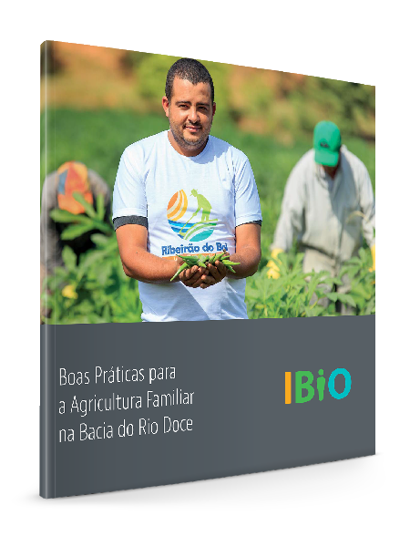
Baixe agora a cartilha “Boas Práticas para Agricultura Familiar na Bacia do Rio Doce” e tenha acesso às tecnologias, análises e metodologias que poderão ajudar a aumentar a capacidade de contribuição e inclusão da agricultura familiar nas práticas sustentáveis.