Founded in 2006, IBIO’s geospatial intelligence operations were born out of the necessity to structure a database in order to meet the planning and monitoring demands of its projects. This initial effort resulted in IGEO, an online platform that provides analysis, planning tools and indicators for monitoring watersheds.
Its main objective is to provide information to support decision-making processes among civil society, governments and the private sector, as well as being a tool for the dissemination of knowledge. The integrated database of IGEO has public and private sources and is in constant expansion. The online user-friendly platform provides information in a safe, transparent and interactive way. This tool enables the visualization of data that is either free or restricted to authorized users, according to content sensitivity and system configuration.
more

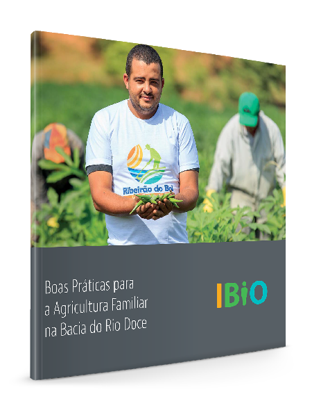
Baixe agora a cartilha “Boas Práticas para Agricultura Familiar na Bacia do Rio Doce” e tenha acesso às tecnologias, análises e metodologias que poderão ajudar a aumentar a capacidade de contribuição e inclusão da agricultura familiar nas práticas sustentáveis.